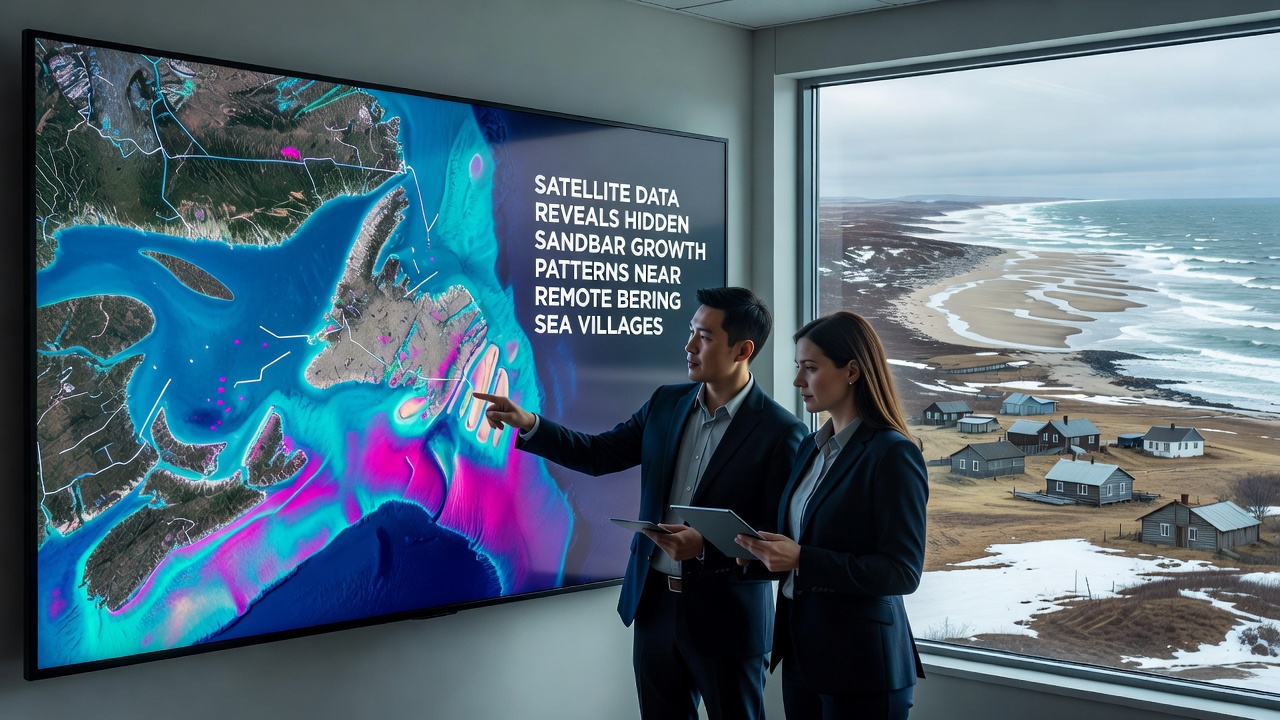
Satellite Data Reveals Hidden Sandbar Growth Patterns Near Remote Bering Sea Villages
Remote communities along the Bering Sea coastline have drawn attention from researchers who use satellite imagery to track coastal changes, and recent analyses show sandbar systems expanding in ways that differ from earlier records. Data collected through 2026 highlights gradual accretion along specific stretches near villages in western Alaska where sediment transport interacts with shifting currents and seasonal ice cover. Observers note that these formations remain largely undetected by ground surveys due to the isolation of the areas involved.
Tracking Coastal Changes with Orbital Sensors
Multiple satellite platforms operated by agencies including the National Oceanic and Atmospheric Administration provide repeated coverage of the region, allowing teams to measure elevation shifts and sediment movement at scales previously unavailable. Researchers compare multispectral bands to distinguish submerged sandbars from surrounding waters, and the resulting maps reveal incremental growth along linear features that extend several hundred meters offshore. European Space Agency archives contribute complementary radar observations that penetrate cloud cover common in the area, and this combination supplies year-round visibility into dynamic coastal processes.
One study released in late 2026 examined imagery spanning five years and documented average seaward extension rates reaching 12 meters annually in select locations. These measurements come from villages situated on low-lying barrier islands where wave energy refracts around headlands, concentrating sand in predictable corridors. Analysts cross-reference the satellite layers with bathymetric data to confirm that the emerging bars sit at depths between one and four meters, placing them within reach of typical storm surges yet still hidden from casual observation.
Regional Patterns and Village-Specific Observations
Communities such as those on the Yukon-Kuskokwim Delta and along the Seward Peninsula exhibit distinct responses to the same regional drivers. Satellite time series indicate that sandbars near the delta tend to elongate parallel to prevailing longshore currents, while those farther north show more radial growth tied to tidal eddies. Figures released by government monitoring programs show that villages with higher river sediment input experience faster bar development, whereas sites dominated by marine sources display slower but more stable accumulation.
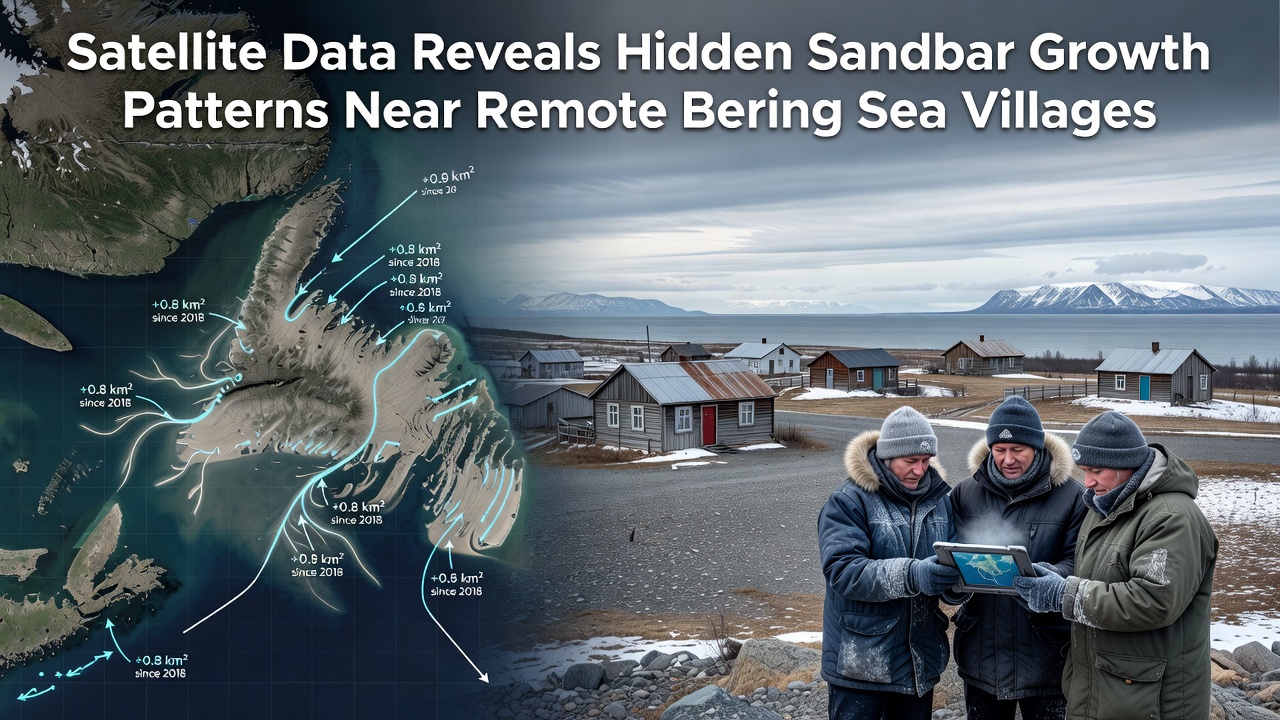
September 2026 imagery captured an unusually clear window after a period of reduced storm activity, and analysts used that dataset to update growth models for the coming decade. The patterns suggest that continued warming trends could alter ice duration and thereby change sediment resuspension cycles. People who study these systems point to the need for sustained observation because small annual increments compound into significant shoreline reconfiguration over time.
Sediment Sources and Environmental Influences
Sediment reaching these sandbars originates from both river discharge and coastal erosion, with satellite-derived turbidity maps helping quantify contributions from each source. Data shows that spring freshets deliver the bulk of annual sediment load, yet fall storms redistribute material onto the bars once river flows subside. Researchers have observed that bars positioned down-drift of river mouths grow more rapidly during years with above-average discharge, while those farther along the coast rely on reworking of existing deposits.
Wind-driven waves and residual currents interact with the shallow bathymetry to shape the bars into crescent or linear forms depending on local geometry. Satellite-derived wave models combined with optical imagery allow reconstruction of these interactions at daily intervals, revealing episodic pulses of growth that ground sensors would miss. The resulting datasets feed into coastal hazard assessments used by regional planning offices.
Conclusion
Continued collection of satellite observations provides the only practical means of monitoring sandbar evolution across the vast and sparsely populated Bering Sea coastline. Records extending into 2026 demonstrate consistent though spatially variable growth that affects navigation, subsistence access, and nearshore habitats. Future analyses will integrate higher-resolution sensors to refine predictions of how these features may evolve under changing climatic conditions, and agencies responsible for coastal management continue to incorporate the findings into updated risk maps.