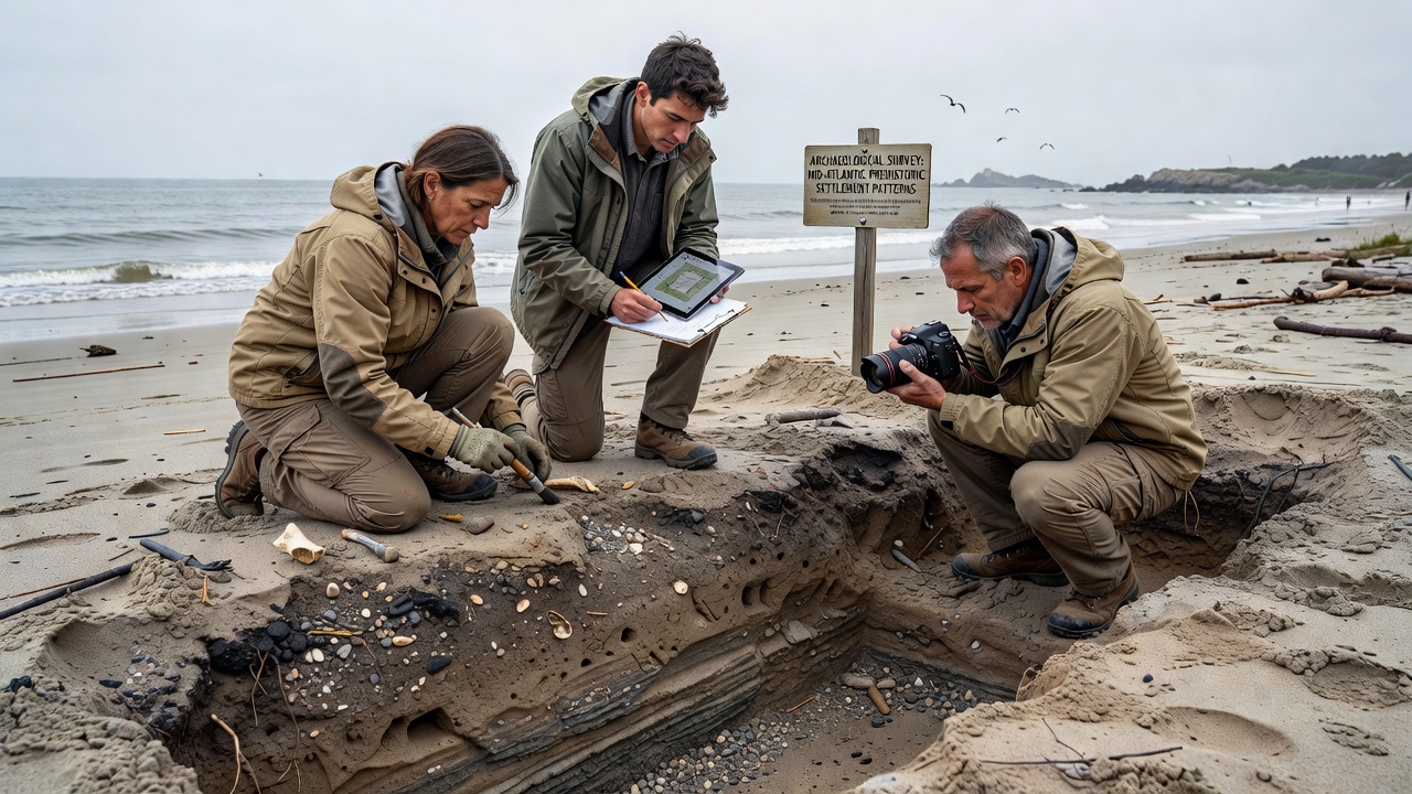
Prehistoric Settlement Patterns Emerge from Sediment Studies Along Mid-Atlantic Shores
Researchers continue to examine layered sediment deposits that hold evidence of prehistoric settlement patterns along the Mid-Atlantic shores, where coastal erosion and natural accretion expose strata dating back thousands of years. These deposits contain artifacts, charcoal fragments, and soil changes that mark human occupation from the Late Archaic period through the Woodland era, while the layering itself reflects environmental shifts including sea level changes and storm events that influenced where communities established camps and villages.
Methods Used in Sediment Analysis
Teams apply stratigraphic techniques that combine core sampling with radiocarbon dating and pollen analysis, allowing them to map occupation sequences without disturbing larger surface areas. Core drills reach depths of several meters in locations from the Delmarva Peninsula to the New Jersey barrier islands, and each layer receives careful documentation of grain size, organic content, and inclusions such as lithic debitage or pottery sherds. Data from these samples show repeated use of specific elevated landforms that offered protection from tides yet remained close to estuarine resources, while adjacent lower zones contain fewer cultural materials and more marine shell hash.
Geophysical surveys complement the physical sampling, as ground-penetrating radar identifies subsurface anomalies that later receive targeted excavation. In one documented case from a Maryland tidal creek, radar anomalies aligned with concentrations of fire-cracked rock and worked stone tools, confirming seasonal occupation rather than permanent villages. Such findings help distinguish between short-term resource extraction sites and longer-term settlements that left thicker midden accumulations.
Patterns Revealed Across Multiple Sites
Across the region, settlement density appears higher on landforms that formed during periods of relative sea level stability, whereas rapid transgression phases correlate with fewer artifacts in the upper strata. Evidence from sites in Virginia and Delaware indicates that communities favored locations near freshwater seeps and oyster reefs, which provided reliable protein sources while the surrounding forests supplied mast and medicinal plants. Charcoal from hearths dated between 4,200 and 2,800 years before present shows consistent use of oak and hickory, suggesting stable woodland composition despite climatic fluctuations recorded in the same sediment columns.
Additional data from New Jersey salt marshes reveal that some groups constructed shell middens on small rises that later became buried by marsh peat as sea levels rose, preserving the deposits for modern analysis. These buried features contain fish bone and turtle carapace fragments that point to a mixed diet, while the surrounding sediment shows increased salinity markers after 1,500 years ago, aligning with broader Atlantic coastal trends documented by multiple research institutions.
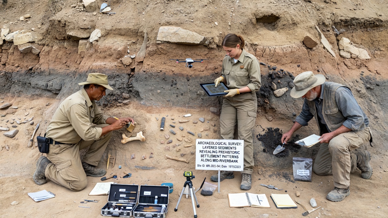
October 2026 updates from ongoing projects indicate that refined dating methods have narrowed the timeline for several previously undated sites, showing that occupation intensity peaked during intervals of milder winters and expanded estuarine wetlands. Those intervals coincide with higher frequencies of ceramic types associated with the Early Woodland period, while later strata contain fewer ceramics and more evidence of mobile foraging strategies.
Environmental Context and Human Adaptation
Sediment records also capture storm overwash layers that periodically buried active sites, forcing relocation to higher ground or different drainages. One study along the Eastern Shore of Virginia identified three distinct overwash events within a 600-year window, each followed by a temporary abandonment of the immediate shoreline and reoccupation of slightly inland terraces. These patterns demonstrate adaptive responses to coastal dynamics rather than simple abandonment, as communities returned once vegetation stabilized the new surfaces.
Pollen sequences extracted alongside cultural materials reveal shifts in local vegetation that correlate with both climate and human land use, including increased disturbance taxa near larger settlements. Yet the same sequences show recovery of forest cover during periods of lower population density, illustrating the interplay between natural and anthropogenic factors preserved in the stratigraphic record.
Conclusion
The accumulating evidence from sediment deposits continues to refine understanding of how prehistoric groups organized their presence along the Mid-Atlantic coast, with each new core sample adding detail to the spatial and temporal distribution of settlements. Ongoing work integrates these findings with regional climate reconstructions, producing a more complete picture of human adaptation to dynamic shorelines that persisted for millennia before European contact. Such research underscores the value of combining traditional archaeological methods with geological analysis to interpret the layered record left by both natural processes and human activity.