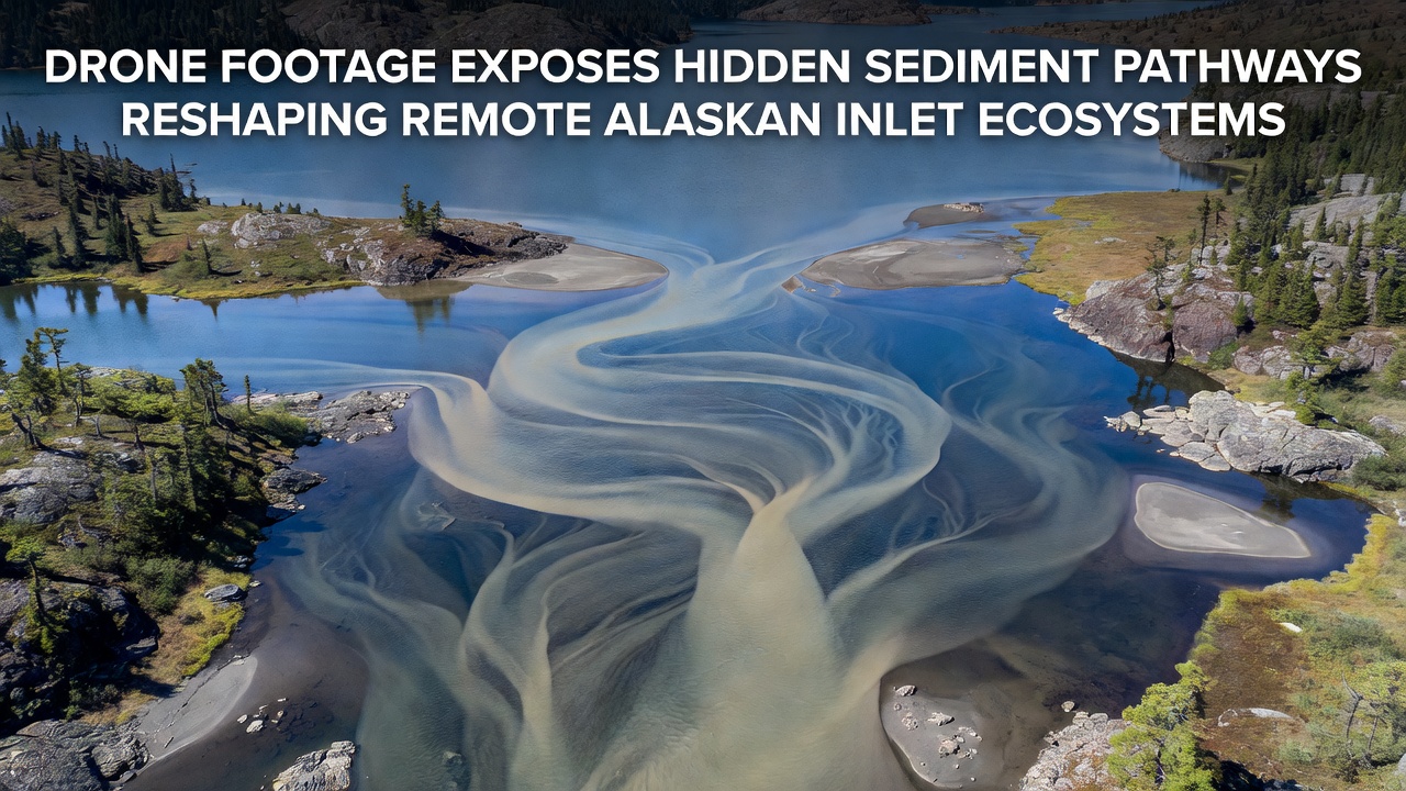
Drone Footage Reveals Submerged Sediment Channels Reshaping Alaska's Isolated Inlet Ecosystems
Researchers deployed unmanned aerial systems across remote Alaskan inlets during September 2026 surveys, and the resulting footage exposed previously undocumented sediment transport routes that connect offshore sources to nearshore zones, while these pathways carry fine particles and coarser materials that alter water clarity, nutrient distribution, and habitat structure in bays such as those along the Gulf of Alaska coastline. Data collected by teams from the University of Alaska Fairbanks indicate that seasonal currents and tidal exchanges interact with these channels to redistribute glacial silt at rates exceeding prior estimates derived from satellite observations alone.
Mapping Techniques and Initial Discoveries
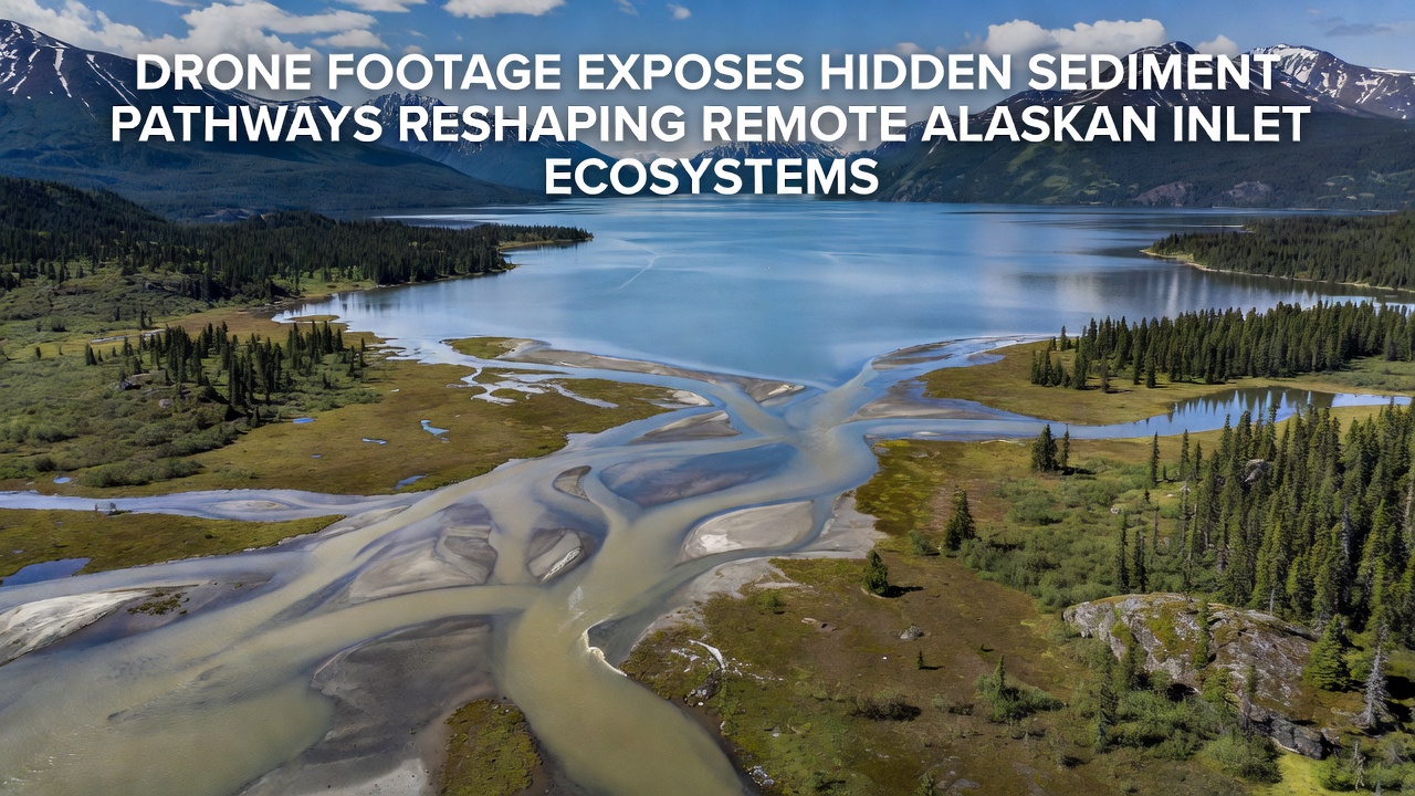
Multispectral sensors mounted on drones captured high-resolution imagery at low altitudes, and analysts processed the data to identify linear depressions and depositional fans that trace sediment movement from river outflows through narrow passages into deeper inlet basins, whereas traditional vessel-based sampling had missed these features because of access limitations and weather constraints. Observers note that one such pathway extends nearly three kilometers in length and terminates in a fan-shaped deposit that supports new eelgrass beds, while similar patterns appear in at least four additional inlets examined during the same field campaign.
Ecological Responses to Sediment Redistribution
Changes in substrate composition affect benthic communities directly, and studies conducted by federal agencies show increased colonization by polychaete worms adn amphipods in areas receiving fresh sediment inputs, although these shifts also reduce light penetration that limits phytoplankton productivity in surface waters. Salmon rearing habitats experience both benefits and drawbacks because finer sediments can smother spawning gravel yet simultaneously deliver organic matter that boosts invertebrate prey populations, and data from ongoing monitoring programs track these trade-offs across multiple life stages of pink and chum salmon. Marine mammal foraging patterns likewise adjust when prey fish concentrate along the newly formed sediment ridges, according to acoustic telemetry records shared by regional wildlife biologists.
Comparison with Broader Coastal Data Sets
Integration of drone observations with long-term records from the USGS Pacific Coastal and Marine Science Center reveals that sediment delivery volumes in these remote systems have risen in tandem with accelerated glacier melt documented since 2020, and the additional material travels along the hidden pathways rather than dispersing uniformly across inlet floors. Canadian researchers at the Institute of Ocean Sciences have contributed complementary models that incorporate wind-driven resuspension events, and their simulations predict continued expansion of these channels under projected warming scenarios through 2035. Such cross-border data sharing highlights how localized drone surveys fill gaps left by coarser regional assessments.
Technological Advantages and Field Logistics
Drone platforms equipped with RTK GPS achieve centimeter-level positioning accuracy that enables repeat surveys of the same transects, while operators launch from small vessels or shoreline camps to cover areas inaccessible by larger aircraft, and battery endurance improvements allow flights exceeding forty minutes in subarctic conditions. Processing pipelines combine structure-from-motion photogrammetry with hydrodynamic modeling, and resulting digital elevation models expose elevation changes of several centimeters per month along active pathways. Field teams coordinate with local communities to time operations around subsistence activities, and this collaboration ensures that equipment deployment avoids sensitive wildlife periods.
Future Monitoring and Data Integration Plans
Expansion of the drone network is scheduled for spring 2027, and planners intend to incorporate autonomous underwater vehicles that collect concurrent water column profiles along the same sediment routes identified from above, whereas machine-learning algorithms will classify new imagery in near real time to flag emerging depositional zones. Partnerships with NOAA's National Centers for Coastal Ocean Science will incorporate these findings into updated habitat suitability maps used for fisheries management, and open-access data repositories will host the processed orthomosaics for independent verification by other institutions.
Conclusion
Drone-derived evidence demonstrates that hidden sediment pathways function as dynamic conduits that reshape inlet ecosystems through ongoing material transport, and continued observation will clarify how these processes interact with climate-driven changes in freshwater discharge and sea level. The combination of high-resolution aerial data with established oceanographic records provides a clearer picture of habitat evolution in regions where direct access remains limited, and the resulting information supports evidence-based decisions for resource management across Alaska's coastal zones.