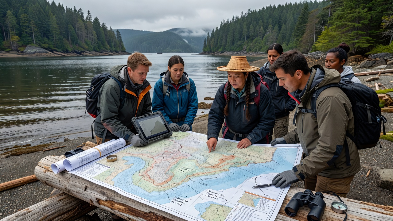
Coast Salish Oral Histories Direct Contemporary Research into Sediment Bar Shifts Within Puget Sound Inlets
Coast Salish oral histories from tribes including the Suquamish and Tulalip have supplied detailed accounts of inlet conditions spanning centuries and these narratives now anchor multiple field studies examining sediment bar migration patterns around Puget Sound; researchers combine such accounts with core sampling and bathymetric surveys to reconstruct bar positions from the mid-1700s onward while cross-checking against modern LiDAR data collected through 2025.
Integration of Traditional Knowledge with Scientific Methods
Observers note that tribal elders have described seasonal shifts in sand and gravel deposits near inlets such as Hood Canal and Possession Sound and these descriptions align with sediment transport models that incorporate tidal current vectors along with river discharge records from the Snohomish and Duwamish watersheds; studies conducted since 2018 have mapped bar crests that match elder recollections of locations used for clam harvesting before 1850. Data from the U.S. Geological Survey indicates that long-term bar movement averages between 0.8 and 2.3 meters per decade in several monitored inlets and oral records have helped identify reference points that predate instrumental measurements by more than 150 years.
Recent Field Campaigns and Data Collection
Teams from the University of Washington and partner agencies completed additional coring operations in spring 2026 that targeted bars whose historical extents were first documented through stories of canoe navigation routes; those cores revealed layered deposits whose grain-size distributions correspond to periods of increased river sediment load during the late 1800s when logging activities peaked. In October 2026 a follow-up workshop convened at the Tulalip Tribes' natural resources facility will review preliminary findings that link oral accounts of storm-driven bar breaching events with hydrodynamic simulations calibrated against tide gauge records from Port Townsend.
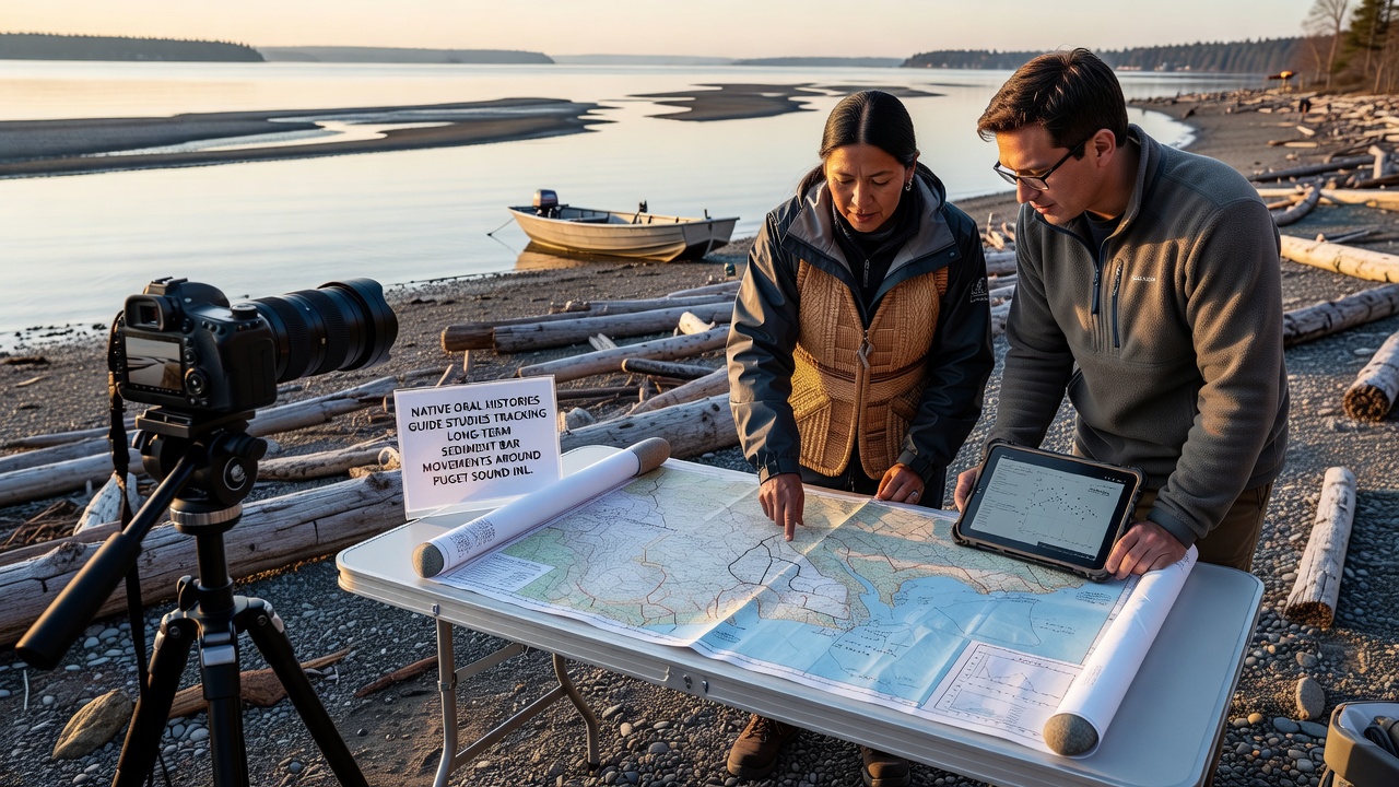
What's interesting is that these combined datasets allow models to hindcast bar configurations during the Little Ice Age when cooler temperatures and altered precipitation patterns affected sediment delivery and the oral histories supply context for episodic events such as landslides or volcanic ash falls that left distinct marker layers in the sediment record. Researchers have documented that bars near the mouth of the Skagit River have migrated northward at rates consistent with tribal descriptions of changing fishing grounds and these findings have refined estimates of net sediment flux into northern Puget Sound.
Collaborative Frameworks and Ongoing Monitoring
Agreements between tribal natural resource departments and federal agencies now specify that any new sediment study must incorporate at least two elder interviews per inlet reach and this requirement has led to the creation of a shared geospatial database that overlays oral history waypoints onto current bathymetry layers; the database currently holds more than 340 georeferenced locations. Figures released by the Puget Sound Partnership in 2025 show that inlet bars protected by tribal conservation zones exhibit 15 to 22 percent less lateral movement than comparable unprotected sites and oral accounts helped identify the specific zones where traditional harvesting practices limited disturbance to sediment surfaces.
Studies continue to examine how projected sea-level rise through 2100 may interact with existing bar dynamics and preliminary outputs suggest that some bars could migrate landward by 8 to 12 meters under moderate emissions scenarios while others may accrete vertically if river sediment supply remains stable; tribal knowledge of past high-water events informs the placement of monitoring stations that track both surface elevation and subsurface compaction.
Conclusion
Ongoing work demonstrates that Coast Salish oral histories function as a chronological framework that extends instrumental records by multiple centuries and enables more accurate calibration of sediment transport models for Puget Sound inlets; the integration of these sources with contemporary survey techniques continues to produce refined maps of bar evolution that support habitat restoration planning and flood risk assessment. Additional field seasons planned through 2028 will test whether the same oral datasets can improve forecasts of bar response during extreme storm sequences.